
Allentown Neighbors: Block Sources
Several official and historical sources can describe a block around an Allentown address, but their scope differs. The Lehigh County Parcel Viewer is the best starting point for parcel geography and assessment fields. The Recorder route follows ownership of a particular lot. The City’s newer records layer provides administrative property context. A historic directory can supply one dated address listing. Pennsylvania voter information has separate statutory limits and is not a browseable neighborhood roster.
| Block source | What it shows near an address | Access and limits |
|---|---|---|
| Parcel Viewer | Parcel lines, PIN, site address, owner field, mailing lines, land use, deed reference | Free map browse; boundaries are reference-only and ownership is not occupancy |
| Recorder deeds | Recorded party and legal-description succession for one lot | LANDEX, County access, or Recorder counter; not a people-at-address record |
| City RTK Data Hub | Address-related code cases and building permits | City administrative context, not a household list |
| Historic directories | Dated listed occupant for an address or street section | APL or LCHS, by specific edition |
| Neighborhood-group inventory | Public group territory, status, contact, and meeting information | City’s October 2024 inventory, not membership data |
| Voter Street List | Defined registration fields tied to a street | Formal request and statutory use limits; no online republication |
For Allentown neighbors, treat the source as a question-specific tool. A parcel can identify the lot next door. It cannot identify every person who may live there. A listed name in an old directory can date a past address connection. It does not turn a whole block into a current resident list.
Allentown Neighbors Need Exact Addresses
Copy the full street form before opening the map. County Property Search recognizes directional prefixes such as E, N, NE, NW, S, SE, SW, and W, and its public address query requires at least four characters. The Parcel Viewer separates site-address components from owner mailing lines. Direction, suffix, unit, and site ZIP can distinguish addresses that look similar on a broad search. The public property form is an address, PIN, or instrument gateway, not an owner-name query.
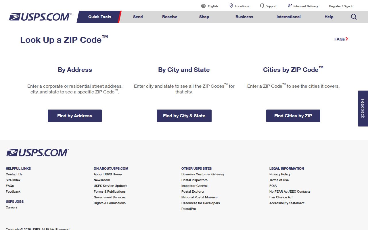
For a public address, use the USPS ZIP Code Lookup to check the delivery ZIP before comparing it with County map results. Postal geography, City limits, wards, and parcel descriptions are separate systems, so an Allentown mailing label is not enough to define a block boundary.
A verified public address gives the Parcel Viewer a more reliable starting point and reduces the chance of opening a similarly named street or the wrong side of a directional road.
Allentown Neighbors in the Parcel Popup
The Parcel Viewer’s configuration supports an address search against the ADDRESS field and a PIN search against the PIN field. It returns up to six suggestions or results in its configured system. After zooming to the address, click the red centroid for assessment information and the “More Info” link. The popup can show the PIN, site street components, ward, lot, zoning, owner, mailing lines, deed reference, land use, sale month and year, and assessment fields.
Those fields require careful labels. The site or situs address is the physical parcel location. Mailing lines are used for tax correspondence and may point elsewhere. A deed reference and the legal description provide the title bridge when a street number changes or a lot is irregular. The County says parcel lines are for reference only, so the map is not a survey or a boundary-dispute tool.
- PIN
- A parcel identification number used to carry one property through the County’s systems.
- Situs address
- The physical site address shown for the parcel, separate from tax mailing information.
- Deed reference
- The recorded-document reference that helps move a parcel question to the Recorder’s grantor-grantee trail.
Map an Allentown Block With Parcels
Map adjacent parcels rather than guessing from consecutive house numbers. Corner parcels, alleys, irregular lots, condominium parcels, and numbering breaks can make a nearby number a poor proxy for an adjoining lot. The Viewer’s draw and measurement tools can help with orientation, but the County’s boundary disclaimer still applies. The practical Allentown neighbors method is a small parcel-by-parcel sequence.
- Open the target parcel from a complete address or PIN and record its site address, PIN, deed reference, and map position.
- Pan or zoom around the lot, then click each adjoining red centroid and compare parcel boundaries rather than street numbers alone.
- For an ownership-history question, use the Recorder’s party and legal-description chain for each specific lot.
- For a past listed-occupant question, use the address cross-reference in a directory from the relevant year.
- Use the City neighborhood inventory only after the parcel geography is known, and keep public group contacts separate from membership claims.
A sale month or sale year in the assessment popup is a useful date clue, not proof that an owner moved to the site at that time. Compare it with the deed reference and legal description before describing a transfer on an Allentown block.
For the record chain along a full named road instead of one immediate block, the Allentown street directory uses the address-oriented County route in more depth.
Note: The public form does not offer a one-click list of every parcel or household on a named street.
Allentown Neighbors and Civic Groups
The City’s Neighborhood-Based Groups in Allentown inventory is a community-context layer after the address is mapped. It lists territory wording, status, a public contact, and meeting information. The document distinguishes active, re-organizing, inactive, and awaiting-information groups. It does not identify every member or establish that every parcel in a group’s territory participates.
8th Ward Neighborhood Group
The City inventory places this group between N. 7th and N. 12th streets, from Sumner to Liberty. Confirm its current status and contact through the City document.
West End Alliance
This is one of the named groups in the City inventory. Use the published contact or meeting information for public community questions only.
Old Allentown
City historic-preservation material identifies Old Allentown as part of the original 1762 plan. Historic context can help with an address trail, but it is not a private directory.
West Park, Raub Park, Old Fairgrounds, Riverbend, Riverfront Civic Association, Mountainville, and other entries also appear in the inventory. Group coverage can follow a ward, park, corridor, or historic district, and may overlap. Check the live public contact details before reaching out.
Allentown Neighbors and Voter Lists
Pennsylvania voter records have a defined legal route, not a general neighbor-browsing tool. Under 25 Pa.C.S. § 1404, a public information list and a Street List can contain specified registration fields, while electronic signatures and SURE registration numbers are excluded. The state request form describes a Street List with name, residential and mailing addresses, party, and active or inactive status, but its use is restricted to election, political, or law-enforcement purposes.
The request procedure requires identification and a written affirmation. State regulations prohibit publishing voter lists online. The public Pennsylvania voter-status route is for a user’s own registration information and does not offer an address-based browse-neighbors feature. An apparent omission can also reflect an Address Confidentiality Program substitute address or other legal protection.
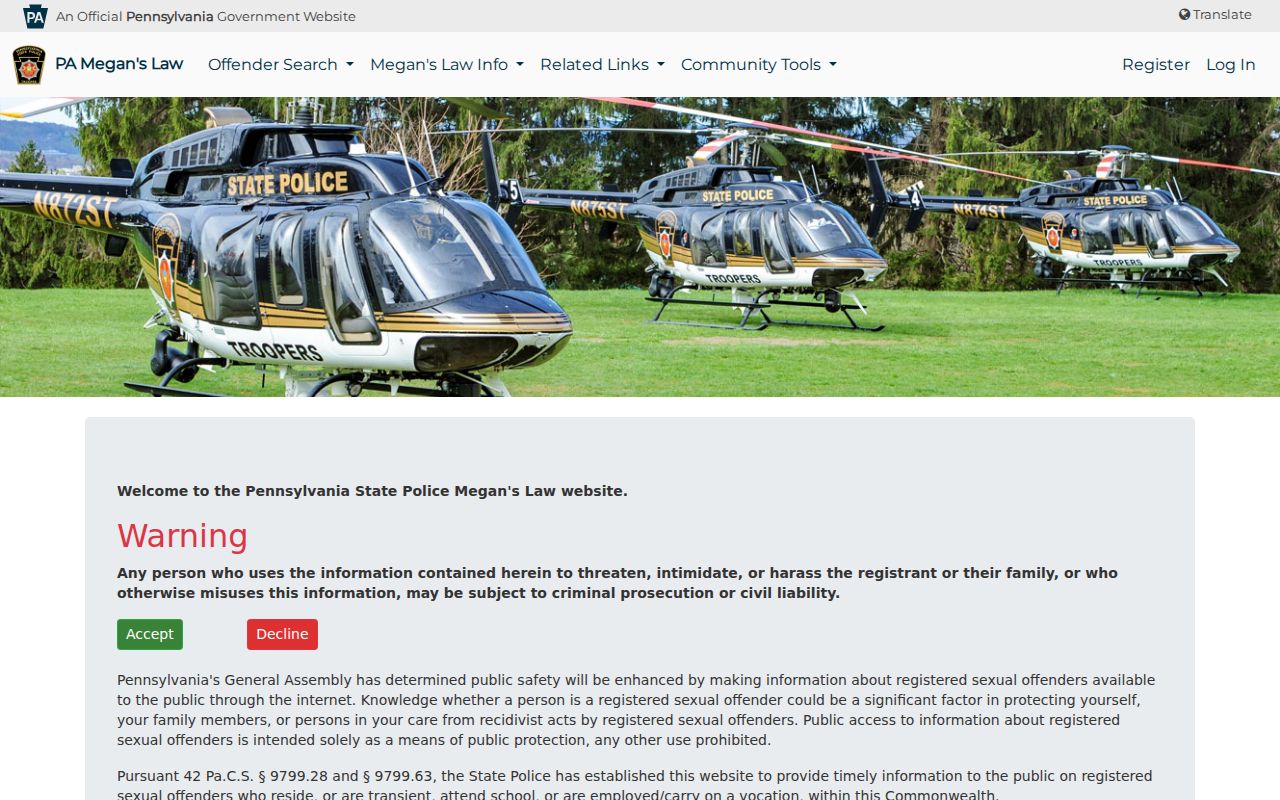
The Pennsylvania public-safety registry has a narrow safety purpose and express anti-harassment limits; it is not a source for identifying Allentown neighbors.
Keeping these record systems separate protects the legal boundaries around both registration data and public-safety information.
Allentown Neighbors and City Record Context
In February 2026, the City announced an RTK Data Hub with searchable City Code Cases and City Building Permits. For a mapped block, those records can add a project, date, or administrative action tied to a property. They do not establish a complete household or prove that a named person lived there on a given date.
If a specific City record is absent from the Hub, use the City’s Right-to-Know channels or the Building Standards counter for a focused request. Pennsylvania’s Right-to-Know Law, Act 3 of 2008, 65 P.S. §§ 67.101-67.3104, presumes agency records are available unless an exemption or other controlling rule applies. A request should name the record and address precisely instead of asking for all people in a geographic area.
Section 67.901 generally gives an agency five business days to respond. Section 67.902 allows a written extension notice during that initial period and generally up to 30 calendar days. Those rules support a narrow record request, not an attempt to assemble a block roster.
Privacy Limits for Allentown Neighbors
Public parcel geography does not establish a private household. Tax and map fields may name an owner and show a billing address, while other people connected to the site may not appear at all. Address Confidentiality Program participants, protected voter records, sealed court matters, motor-vehicle information, utility records, and ordinary data errors remain hard boundaries. Where an official source has no field, do not fill the gap with an inference.
| Custodian records | Commercial neighbor products |
|---|---|
| Identify the office, record date, parcel, field, and statutory limit. | May combine property, marketing, and inferred-household data with uncertain currency. |
| Support a defined parcel, deed, directory, or City-record question. | Cannot replace a County or City source for a claim about an address. |
| Offer a counter, archive, or records-request fallback when a defined record is needed. | Do not resolve protected information or make an absent official record public. |
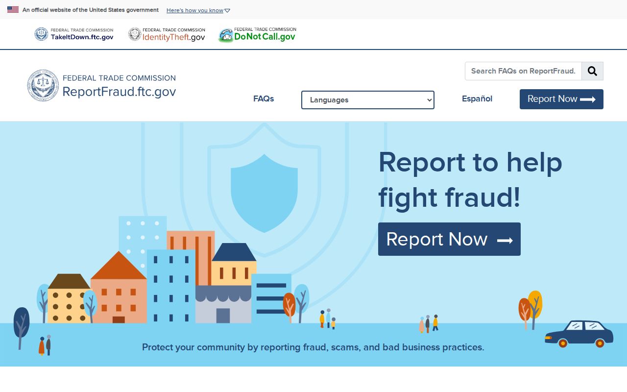
For fraud or an identity concern tied to a suspicious request, the Federal Trade Commission reporting channel is the official reporting route. It is not a substitute for correcting a County or City record with the custodian.
Verify a record with the office that maintains it, and keep a report, correction request, or parcel reference with its date.
Lawful use. Allentown neighbors research can support personal community context and public-record questions. Do not use an address, map, voter record, or public-safety source to watch, intimidate, stalk, or harass anyone.