
Allentown ZIP Code Areas
Allentown’s postal-area listing has to distinguish service, overlap, and delivery use. City maps and Census profile results place several codes wholly or partly around the City, but they do not turn each one into a fixed municipal boundary. The list below records the relationship documented in the research rather than assigning every street to a single neighborhood. For a delivery question, verify the exact address with USPS. For a public-record question, preserve the complete address and parcel PIN as well as the ZIP.
| ZIP | Areas Covered | Post Office | Notes |
|---|---|---|---|
| 18052 | Partial Allentown-city overlap in Census ZCTA results | Whitehall postal identity is common outside the City | Boundary or overlap code; verify each delivery address |
| 18101 | Central and downtown Allentown | Allentown processing grouping | Shown as a City ZIP on planning maps |
| 18102 | Central and northwest Allentown | Allentown | City plan map and APL location use this ZIP |
| 18103 | South and central Allentown | Allentown | Identified in City mapping |
| 18104 | West and central Allentown | Allentown | Identified in City mapping |
| 18105 | Allentown ZCTA in Census results | Allentown context | May be absent from a simplified City planning map |
| 18106 | Allentown-area ZIP with substantial possible non-City coverage | Allentown 18106 processing grouping | USPS grouping also includes 18102 and 18195 |
| 18109 | East and northeast Allentown | Allentown | Can cross municipal boundaries |
| 18195 | Allentown-area specialized or unique code | Allentown processing context | Not a regular Census ZCTA |
The Census QuickFacts profile is useful for the City context behind these overlapping ZCTA results.
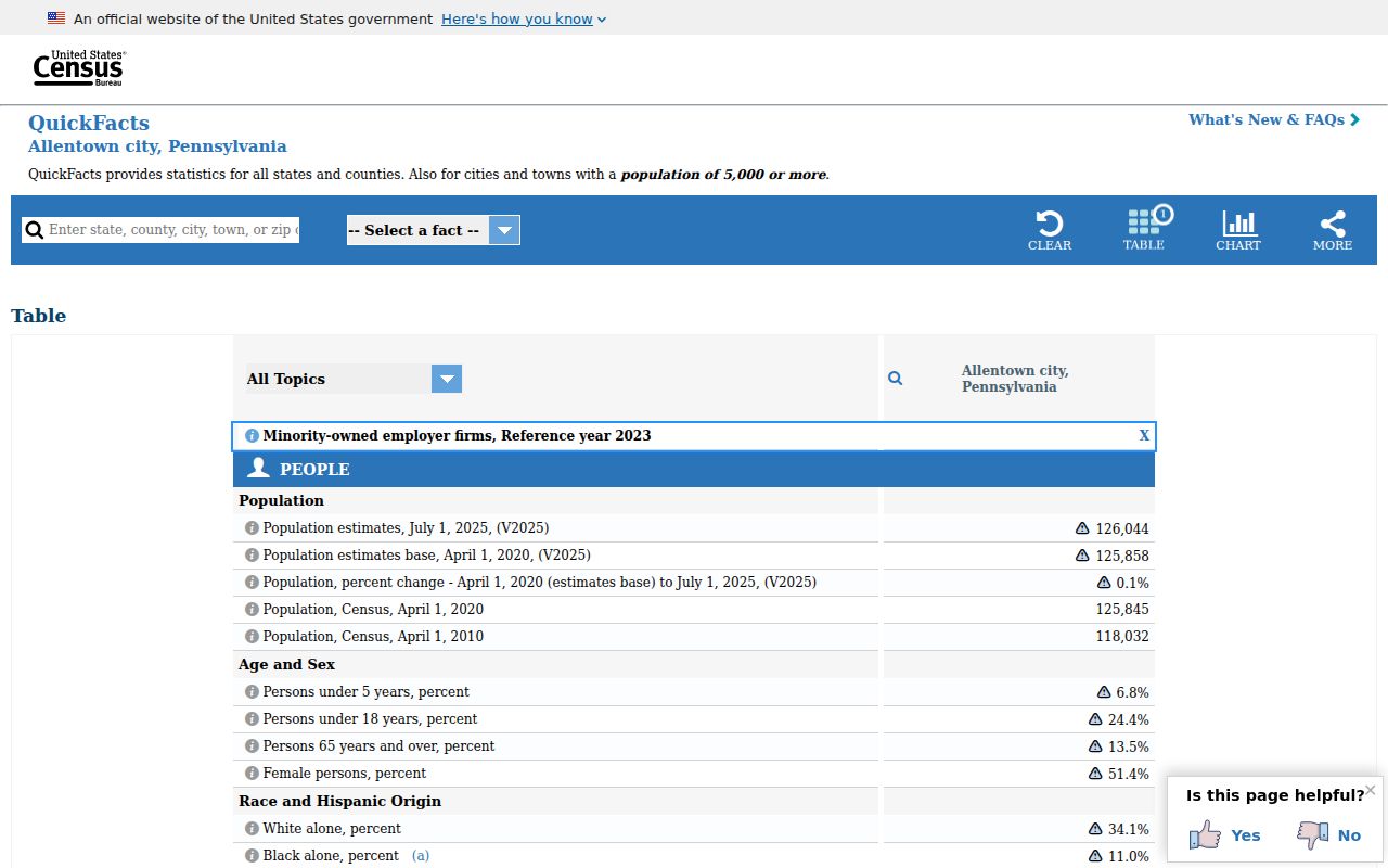
Census geography supports comparison, but USPS remains the delivery authority for one address.
Allentown ZIP Code Boundaries
Postal boundaries and Allentown city limits answer different questions. A ZCTA is the Census statistical approximation of ZIP geography, while USPS maintains delivery geography. City GIS uses street-side ranges and left and right ZIP fields, so a postal boundary can sit between the two sides of a road. A ZIP can also cross a ward, school district, assessment municipality, or City limit. Do not use a mailing-city label to decide the government office that holds a property record.
- ZIP and ZIP+4
- A five-digit ZIP identifies a delivery area. ZIP+4 adds four digits for a smaller delivery segment and does not define a city boundary.
- PO-box ZIP
- A ZIP assigned for post-office-box delivery. It should not be read as a neighborhood-wide street code.
- Unique ZIP
- A specialized postal code associated with a particular delivery arrangement. It is not automatically a normal street-area ZIP.
- Carrier route
- A postal delivery sequence used to organize mail. It is not a public record of who lives along that route.
Allentown ZIP Code 18195
18195 deserves a separate explanation in Allentown’s postal-area listing. City planning and bicycle-network materials place it in an Allentown-area context, and USPS facility material groups it with the 18106 processing context. Census does not list 18195 as a regular ZCTA. The supported conclusion is narrow: treat it as a specialized or unique postal code until USPS verifies a specific delivery address. It should not be presented as a conventional City neighborhood ZIP.
That same caution applies to 18052 and 18106. A ZIP can overlap Allentown without marking the legal City boundary. For parcel, tax, court, or City-record work, use the situs address, municipal context, and PIN rather than a postal label alone.
Note: A ZIP that appears in an Allentown source can still cover an address outside the City.
Search Allentown ZIP Code Addresses
No local portal documented here supports a ZIP-wide owner or resident query. County Property Search accepts an address, PIN, or document ID or instrument number, and the Parcel Viewer’s address source queries the ADDRESS field. The map popup shows a site ZIP, but the public system does not supply a ZIP filter. That means the honest ZIP workflow starts with one known address, then checks its postal and parcel details. It does not promise a list of people in a ZIP.
- Enter the complete address in the USPS tool and preserve the delivery ZIP it returns.
- Search the County of Lehigh Property Search by normalized address or PIN. Include the directional prefix and street suffix.
- Open the Lehigh County Parcel Viewer and compare the site ZIP, PIN, and parcel geography.
- For a defined City record, use the ZIP only as part of a concise geographic description in a Right-to-Know request.
- When the search narrows to a named road, use the Allentown street directory for the address-by-address record path.
The statewide voter-status form asks a user for a ZIP as part of a protected self-status check, not as a route to search other residents. Statutory voter-list access has its own purpose limits and cannot be republished online.
Allentown ZIP Code Map Fields
The City street-centerline configuration records low and high address ranges, directional prefix and street type, street name and type, plus left and right ZIP fields. The County parcel popup separates the situs address from owner mailing lines and includes PIN, PARNUM, deed reference, lot, subdivision, and site ZIP. Those different fields explain why two addresses on the same road may need separate checks. A PIN usually remains a more durable record key than a ZIP when postal geography changes.
| Search or map field | Allentown use |
|---|---|
| Full address and directional prefix | County Property Search recognizes E, N, NE, NW, S, SE, SW, and W prefixes. |
| PIN and PARNUM | Parcel identifiers that connect the property result, map popup, and deed reference. |
| Site ZIP | Parcel-map field to compare with postal verification, not a people-search filter. |
| Left and right street ZIP | City street-layer fields that help explain road-side ZIP changes. |
Use the City GIS ZIP layer query to inspect the official ZIP-boundary layer.
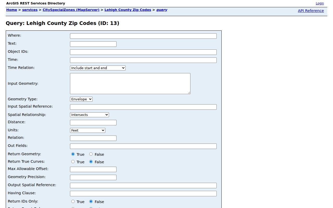
Map geography helps locate an address in context, but it does not turn a ZIP or parcel layer into a roster.
Allentown ZIP Code and PIN Records
When a ZIP and mailing label conflict, move from the address to the PIN and deed reference. The parcel viewer shows a site address separately from the owner’s tax-mailing lines. A legal description and deed reference carry the title trail through address changes more reliably than a postal label. The Recorder directs deed research to LANDEX; County materials describe a historical Russell/IQS index for 1812-1983 and LANDEX for 1812-present. The Recorder counter, books, and preservation material remain the fallback when an online result stops.
The Recorder-designated LANDEX search route is the bridge from a known parcel reference to recorded-document research.
A deed identifies recorded parties and a legal description. It is not evidence that every person at an address is a current occupant.
Allentown ZIP Code History
Historic address research predates today’s ZIP system. The City historic-property guide warns that street names and house numbers can change, so an older Allentown address should be traced with the directory cross-reference, the alphabetical entry, maps, and the deed’s legal description. Allentown Public Library has city-directory microfilm from 1860-1980, and the Lehigh County Historical Society lists directories from 1860-current. Log the year, printed spelling, page, street form, and map sheet before deciding that two entries refer to the same place.
The local story extends before postal labels: William Allen’s 1762 plan called the original community Northampton Town, and the name became Allentown in 1838. Earlier maps and directories may therefore use a historic community name. That is a records clue, not a reason to substitute modern ZIP geography for a historical address.
For a historical address, begin with the street number and the directory’s reverse or address section. Then turn to the alphabetical listing to capture the printed name, address, page, and any notation. Compare a Sanborn map, deed legal description, and later parcel record before carrying the result across an address change. A dated directory is an occupancy clue for that edition, while a deed identifies a title transfer. The sources are strongest when their different roles remain separate.
Allentown ZIP Code Request Limits
A ZIP does not create a right to a citywide list of people. For a defined City record, state the record type, date range, and geographic boundary in an RTK request under Pennsylvania’s Right-to-Know Law, Act 3 of 2008, 65 P.S. §§ 67.101-67.3104. The City asks requesters to be specific and concise. A request for every resident in a ZIP is overbroad and may seek records that are not available under the governing law. Use the relevant custodian and request channel when a map or property portal lacks a field. A court, state, County, or City custodian may hold different fields under different disclosure limits, so identify the record holder before asking for a defined record.
The Pennsylvania unclaimed-property search is name-led, not ZIP-led.
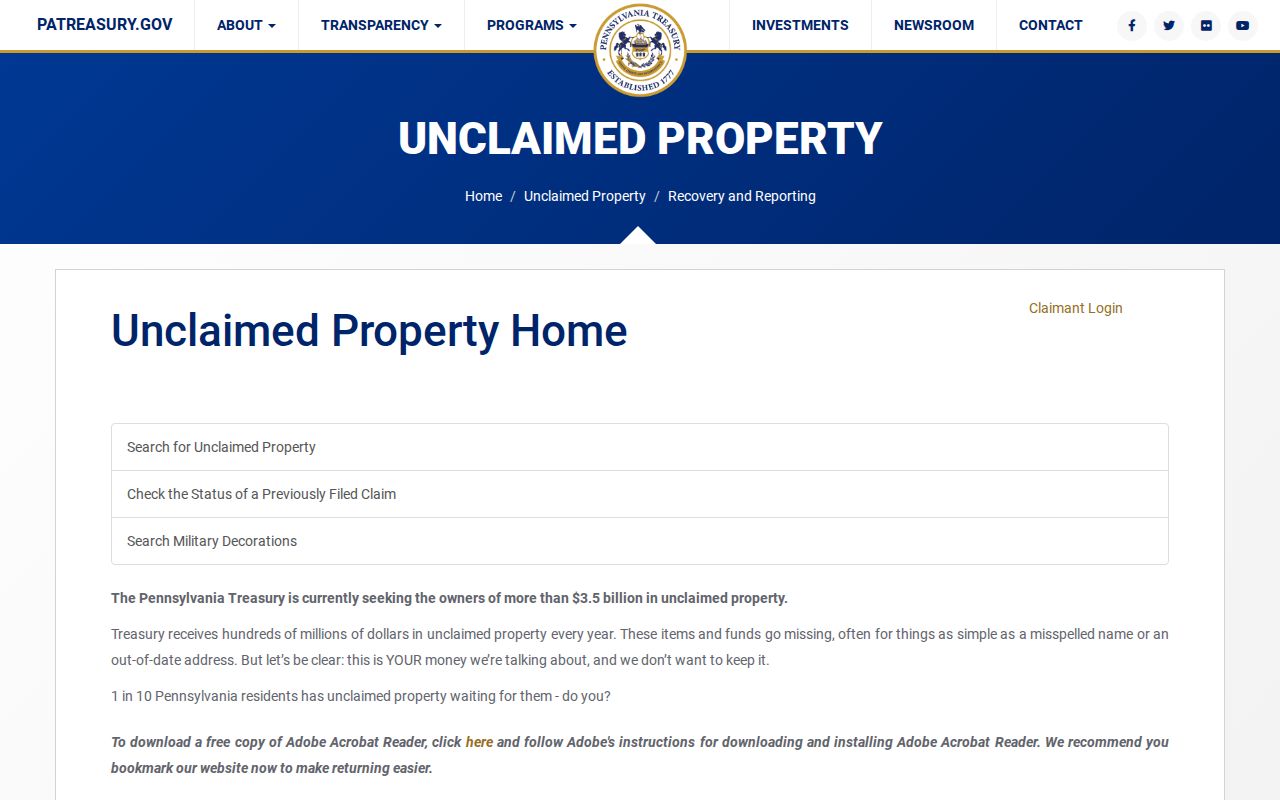
An unclaimed-property result can be a lead for a claimant, but it does not verify residence or delivery ZIP.
PACER is likewise a federal-court docket service, not an Allentown ZIP directory.
Use a federal docket only for a defined case and verify identity through its court and case details, not a postal code.