
Finding Allentown Streets by Address
Start a street-by-street search with the exact house number and the road as it is currently written. The County property form is the first parcel gateway, not a broad name directory. Once the parcel is located, its assessment details and deed reference establish a record trail that can be checked at the map, the Recorder, and historical repositories. Each step answers a narrower question. A parcel record can establish an ownership entry. A deed can establish a recorded transfer. A dated directory can establish that a name was printed at an address in that edition.
- Enter the complete address or PIN in the County of Lehigh Online Records Access Property Search. Save the situs address, PIN or PARNUM, owner as displayed, parcel description, and deed reference.
- Open the linked Lehigh County Parcel Viewer, confirm the target parcel, and click its red centroid for assessment information.
- Use the deed reference and party names with LANDEX or the Recorder counter. Match the legal description and recording date before treating two similarly named parcels as the same place.
- For a specific historic year, use the address cross-reference in a local directory, then check the alphabetical entry for the same address and record the volume and page.
- Use voter material only through Pennsylvania's separate statutory process. The public status form is for an individual's own registration and does not create a browseable street roster.
For a past listed occupant, the historical-volume method is explained in more depth on the Allentown City Directory page. For one named person rather than a full street, the resident lookup route uses different records and limits.
Allentown Street Directory Search Fields
The public County form accepts an address, a Parcel Identification Number, or a Document ID/Instrument Number. It requires a search text value and CAPTCHA. The form does not expose a public owner-name option, so an Allentown street directory search should begin with a property identifier rather than an open-ended person name. Enter the county's normalized street form, including the direction and suffix when they apply.
| County form field | Required | Allentown use |
|---|---|---|
| Enter Search Text | Yes | Four to 30 characters, with no special characters |
| Search Type | Yes | Address, Parcel Identification (PIN), or Document ID/Instrument Number |
| CAPTCHA | Yes | Validate it before submitting the query |
| Parcel Viewer | No | Opens the County ArcGIS map for parcel inspection |
Accepted directional forms include E, N, NE, NW, S, SE, SW, and W. The form also supplies standard street-type abbreviations. Those details matter in Allentown because the City uses directional Hamilton, Tilghman, and numbered streets. A short fragment can miss the needed result, and the County's four-character minimum makes a full, distinctive address the safer starting point.
Note: The public property form is an address, PIN, or instrument gateway, not a complete list of properties along a named road.
Allentown Street Directory Map Results
In the Parcel Viewer, the address search queries the ADDRESS field and PIN Search queries PIN. The configuration returns up to six suggestions or results. Pan and zoom along the street, then click the red centroid on the parcel of interest. The assessment popup can show the PIN, PARNUM, ward, district, lot, zoning, owner, mailing lines, deed reference, land use, assessment values, and sale month, year, and price. Adjacent centroids can be opened one at a time, which is more reliable than assuming consecutive street numbers sit on adjoining lots.
The map also has land-use and subdivision filters, measurement, drawing, and print controls. Those tools help interpret the parcel pattern. They do not convert the map into a household list. The County says parcel boundaries are for reference only, so a map view is not a boundary survey or proof of occupancy.
The captured Pennsylvania Licensing System screen is a useful reminder that an official statewide interface is separate from address evidence.
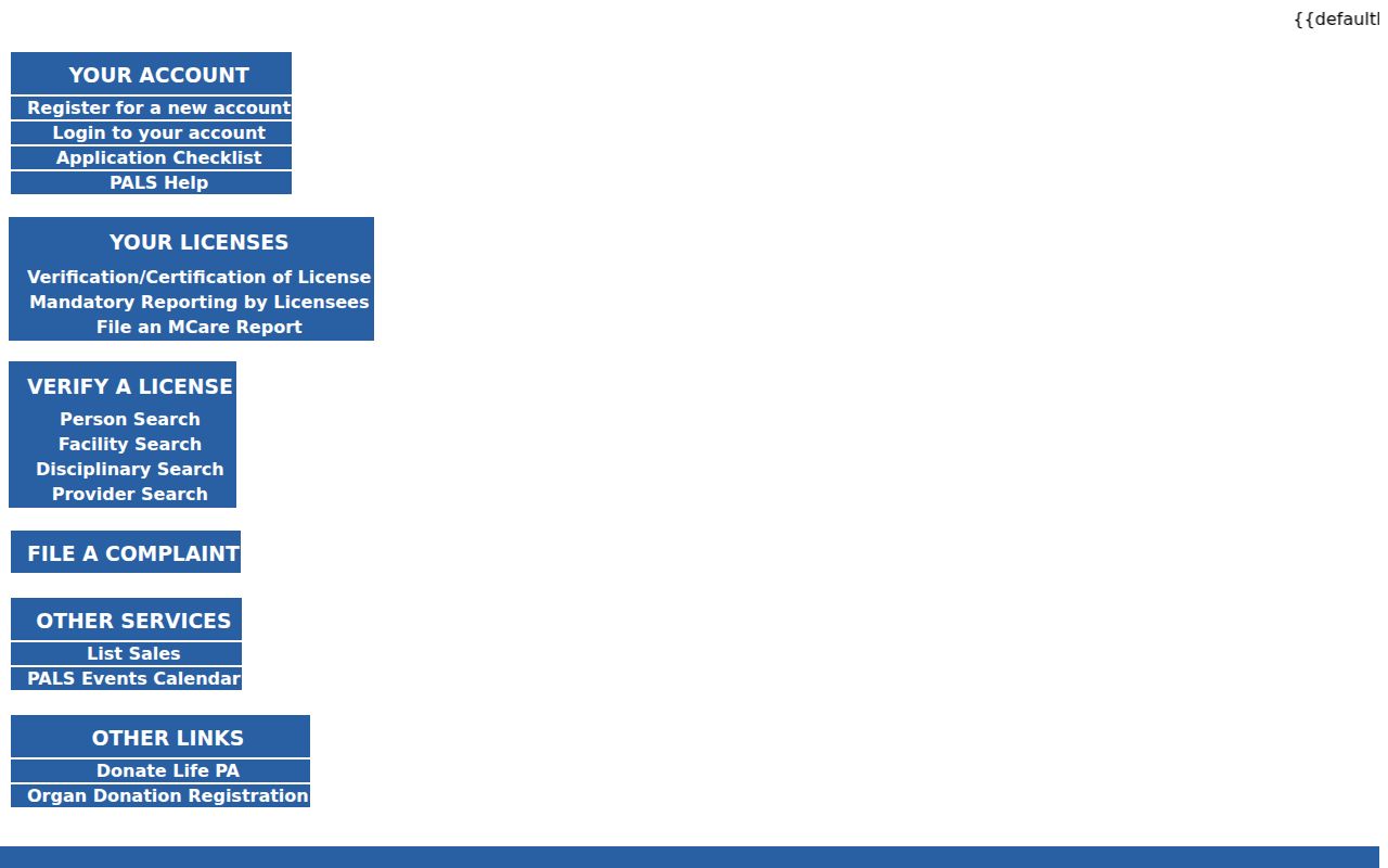
For an Allentown street directory question, use the County parcel and deed systems for the address trail; a separate state lookup should not be treated as proof of a connection to a particular property.
Allentown Street Records by Address
Address-keyed sources answer different questions along an Allentown street. The assessment record supplies the parcel and current tax data. The map supplies parcel geography. A deed traces a recorded title transfer. City administrative files can document a permit or code matter. A historical directory gives a dated listed occupant. Keep their limits visible rather than treating any one source as a complete household record.
| Address record | Local keeper | What it can show | Access route |
|---|---|---|---|
| Assessment parcel | Lehigh County Assessment | PIN, situs, owner, tax mailing lines, sale and deed-reference fields | Free Property Search and Parcel Viewer; paid County ORA for expanded current records |
| Parcel geometry | Lehigh County GIS | Parcels, street position, acreage, and municipal context | Parcel Viewer map and red-centroid popup |
| Recorded deed | Recorder of Deeds Division | Grantor, grantee, legal description, and transfer chronology | LANDEX, County subscription, books, images, microfilm, or counter |
| Permit or code case | City Building Standards and Safety | Property-linked work or administrative context | City Data Hub, targeted RTK request, or counter |
| Historic directory | APL or LCHS | Dated address-to-listed-occupant entry | Microfilm, historical-library collection, or reference desk |
| Voter street list | State and County election offices | Registration information subject to statutory limits | Election-list request process, not a generic street roster |
The parcel PIN and deed reference connect the County layers. A complete street form connects the map and the historical cross-reference. The voter-list route is governed by its own written affirmation and use restrictions, so it is not a substitute for public address research.
Allentown Street Directory Address Types
Three address-related fields do different jobs. The situs address is the physical parcel location and is the one to use for street browsing, permits, and the directory cross-reference. The owner mailing address is a tax-billing line. It may point to a post-office box, agent, estate, business, or another residence, so it should remain labeled as the tax roll's mailing address. The legal description and deed reference form the title bridge when a street number is changed or ambiguous.
- Parcel
- A defined piece of land represented by the County through identifiers such as a PIN or PARNUM.
- Situs address
- The physical site address recorded for the parcel, distinct from a billing address.
- Legal description
- The lot, subdivision, or related land description used to match a recorded transfer to the same property.
- Criss-cross directory
- The street or address cross-reference portion of a historical directory that leads to a listed name.
Keep all three forms in the notes for a street search. A matching surname alone is weak evidence. A matching parcel identifier, legal description, and recording reference is much stronger when a street label has shifted over time.
Allentown Street Directory Deed Chains
The Lehigh County Clerk of Judicial Records, Recorder of Deeds Division is the custodian for deeds, mortgages, maps, and other recorded instruments. After the parcel popup supplies a deed reference, use the current owner as a grantee lead in LANDEX or the County's paid online-records route. Confirm that the legal description, PIN or lot information, and recording date match the address. Then identify the seller, search that person as a prior buyer, and repeat with the same property description.
This process follows title, not every person who was present at the address. A sale year shown in assessment data is a clue, not a substitute for the recorded instrument. If the online route stops, the Recorder has books retained through April 19, 2002, computer images beginning April 22, 2002, and security microfilm or image preservation described as 1812 to the present. The Recorder counter is at 455 W. Hamilton St., Room 122, and staff ask visitors to come prepared with names, a PIN, legal-description terms, and an approximate date range.
Recorder counter copies are listed at $0.50 per page, mail or email copies at $1 per page, certified copies add $1.50 per document, and maps are $5 per sheet. Check the current Recorder fee schedule before requesting copies because payment details can change.
The Lehigh County Civil Division is a separate local route for defined civil, family, judgment, lien, and divorce file questions. A court filing is not address evidence by itself, but an identified judgment or lien can be checked against the parcel and Recorder trail.
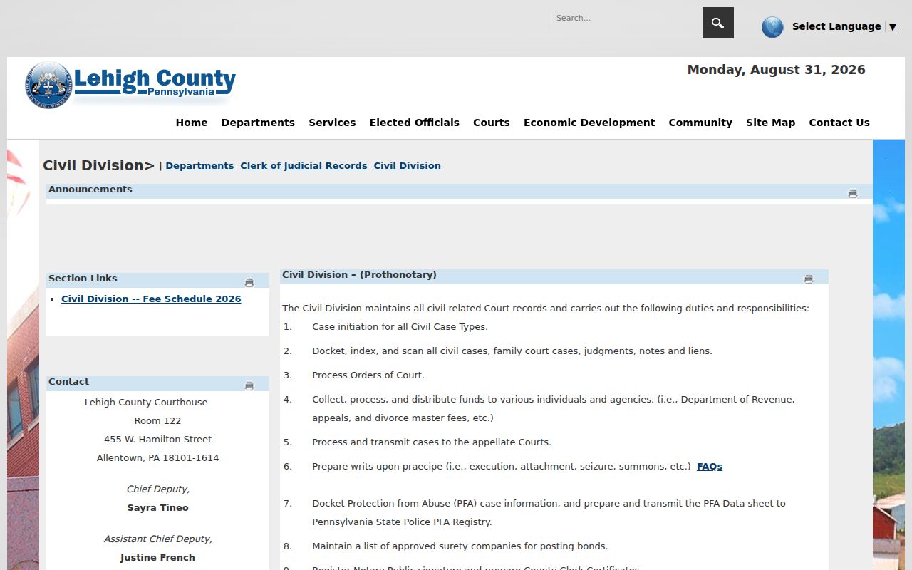
The Civil Division route adds a custodian for a known case or lien, while the parcel, deed, and directory records remain the core street-by-address evidence.
Allentown Street Directory City Records
Allentown added a City Right-to-Know Data Hub in February 2026 with searchable City Code Cases and City Building Permits by address. These collections can add administrative context about work or a code matter tied to a property, but they are not personal-residency records. Check the live Hub for its current filters, fields, and export controls before relying on a result.
If a needed City record does not appear there, the City offers an RTK route by email, mail, fax, drop box, or in-person delivery. A request should identify the records, scope, and time period rather than ask the City to research a person. The City states an initial response is generally due within five business days, with a possible 30-calendar-day extension under the Pennsylvania Right-to-Know Law.
The City's Data Hub announcement describes the new address layer, while the Allentown RTK page provides the request channels and appeal information.
Allentown Street Directory Directions
Directional prefixes and postal lines can change a street result. The City street configuration records left and right low and high address ranges, direction prefix and type, street name and type, and left and right ZIP fields. E Hamilton is not interchangeable with W Hamilton, and N numbered streets are distinct from S numbered streets. Preserve the prefix, suffix, unit, and site ZIP exactly as the County result presents them.
ZIP, ward, school district, City limit, and parcel municipality use different boundaries. A postal label should not be used as a substitute for the situs, parcel geometry, or legal description. When a historic listing uses a different street form, compare the City guide, Sanborn maps, and the deed description before rejecting the possible match.
Note: A full normalized address narrows a County query, while the PIN supplies a more durable key across mapping and deed systems.
Allentown Street Directory Reverse Method
For a historic occupant question, the City of Allentown's property-research procedure starts in the directory address cross-reference. Find the street and number, record the listed name, then turn to the alphabetical section to confirm the address and capture any printed occupation or ownership-status clue. Log the directory year and page. That makes the result reproducible and prevents a bare name from being confused with a claim about the property today.
Allentown Public Library holds city-directory microfilm from 1860 to 1980. The Lehigh County Historical Society lists Allentown directories from 1860 to the present. Pair the entry with a Sanborn sheet or deed description when older street names or house numbers change. The full historical shelf and entry-reading method belong to the City Directory collection route rather than a modern parcel search.
Allentown Street Directory Limits
Address records are not a complete account of private life. A parcel can display an assessed owner and tax mailing lines, but it does not establish every member of a household or who was physically present on a particular day. Deed parties show a recorded transaction, not a current occupant. A historical directory is a dated publisher snapshot and can contain gaps, omissions, changed spellings, or changed street numbers.
Pennsylvania's public voter information has separate limits. The official status portal is an individual's credentialed status route. A copied public list or street list is subject to statutory purpose restrictions, written affirmation, and a prohibition on online publication. Protected-address programs, restricted court matters, nonpublic DMV records, and utility customer information are further boundaries. Absence from an index is not proof that a person was absent from an address.
Lawful use. Allentown street records support personal, lawful research and property history. Do not use them to stalk, harass, intimidate, or harm anyone.
Allentown Street Directory Record Depth
Lehigh County was created in 1812, and its Recorder describes land-record holdings beginning that year. The long record chain has several access layers: Russell/IQS historical indexing is identified for 1812 to 1983, LANDEX for 1812 to the present, permanent books through April 19, 2002, then computer images beginning April 22, 2002. The County's security microfilm and image preservation is also described as 1812 to the present.
That history is useful when a current web result cannot reach an older transfer. Bring the parcel PIN, legal-description terms, party names, and a known book, page, or instrument reference to the appropriate counter or archive. An interface gap is a reason to change channels, not proof that the earlier record disappeared.